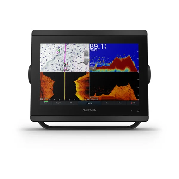
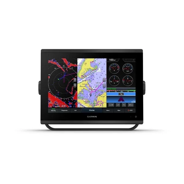
Garmin GPSMAP1243 12" Plotter with US and Canada GN+
Sale!

Garmin GPSMAP1243 12″ Plotter with US and Canada GN+

Original price was: $2.00.Current price is: $0.60.

SKU: 51601 Category:

Description

Garmin GPSMAP 1243 Chartplotter with Garmin Navionics+ coastal and inland water charts for the U.S. and Canada

Model: 010-02367-60

  • New high-resolution in-plane switching touchscreen display offers improved sunlight readability and wide-angle visibility over previous-generation 12″ units
  • Fast and responsive, this robust GPSMAP® system references 10 Hz GNSS (GPS, GLONASS and Galileo) for accurate positioning and smooth speed as well as COG data
  • Slimline display borders, edge-to-edge glass and reduced unit footprint make for easy retrofit in a wider range of dash configurations
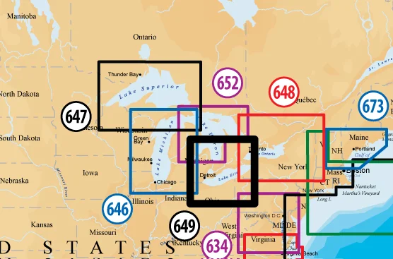
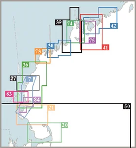
  • Preloaded Garmin Navionics+™ coastal charts and inland mapping feature Auto Guidance+™ technology (Auto Guidance+ is for planning purposes only and does not replace safe navigation operations) ; plus, there’s support for optional Garmin Navionics Vision+™ premium map content.
  • Built-in Garmin SailAssist™ features, including laylines, race features, set and drift, wind data and more. Requires compatible wind transducer (sold separately)
  • J1939 engine connectivity for easy integration with engines and our exclusive OneHelm™ feature for connecting to your compatible third-party devices, such as EmpirBus™ digital switching
  • Easily build your marine system — from compatible sonar and autopilots to compatible radar, cameras and multimedia — by using NMEA 2000® and NMEA 0183 networking and the Garmin Marine Network
  • Use built-in Wi-Fi® networking to pair with the free ActiveCaptain® smartphone app for access to the OneChart™ feature, smart notifications, software updates and more.
  • Integrated ANT® connectivity support for use with compatible quatix® smartwatches, the gWind™ Wireless 2 transducer, GNX™ Wind marine instrument and wireless remote controls (sold separately)”

“Get a sharper view from your connected helm with the GPSMAP® 1243 chartplotter. Its high-resolution 12″ in-plane switching touchscreen and ultrasleek design seamlessly integrate into your Garmin marine system, putting full control at your fingertips. Preloaded Garmin Navionics+™ coastal charts and inland mapping feature Auto Guidance+™ technology (Auto Guidance+ is for planning purposes only and does not replace safe navigation operations) for helping you get where you need to go. Plus, there’s support for optional Garmin Navionics Vision+™ premium map content. Easily build your marine system — from compatible sonar and autopilots to compatible radar, cameras and multimedia — by using HTML 5.0, NMEA 2000® and NMEA 0183 networking, J1939 for engines and the Garmin Marine Network. Add FrontVü™ forward-looking sonar (sold separately) (The ability to effectively avoid forward collisions with FrontVü sonar decreases as speed rises above 8 knots[HT1] ) which can help in avoiding underwater obstructions ahead. Or pair your plotter with your other compatible Garmin devices, such as quatix® smartwatches, wind transducers, wireless remote controls and more.”

Specifications

General

Reviews

There are no reviews yet.

Be the first to review “Garmin GPSMAP1243 12″ Plotter with US and Canada GN+”

Your email address will not be published. Required fields are marked *